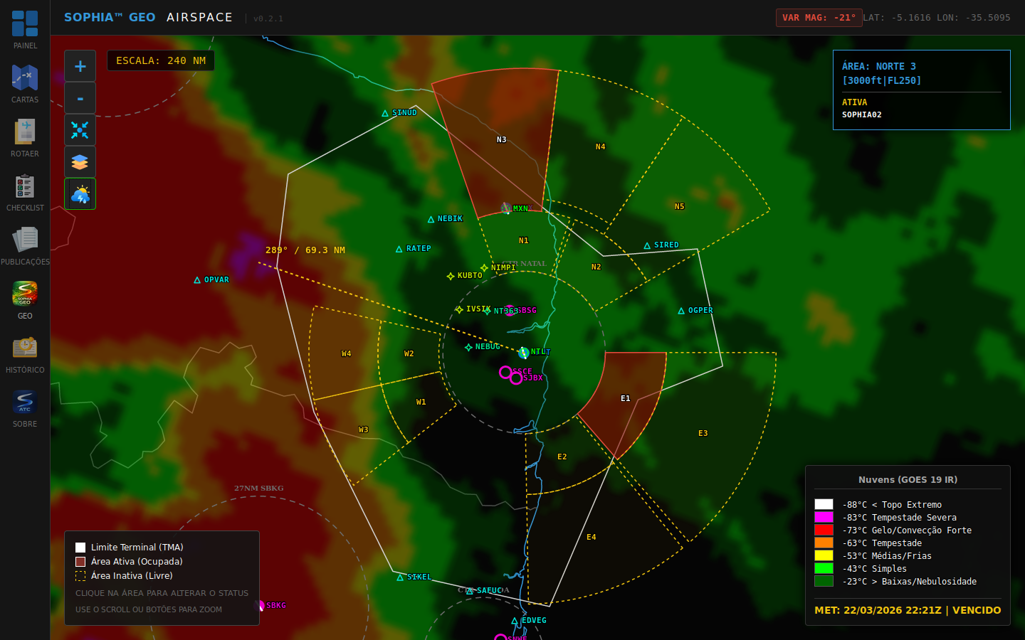
Situational awareness enhancement system for approach control units
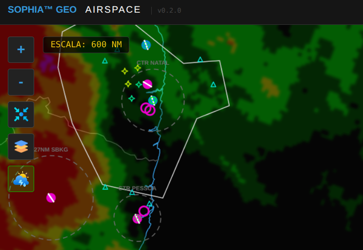
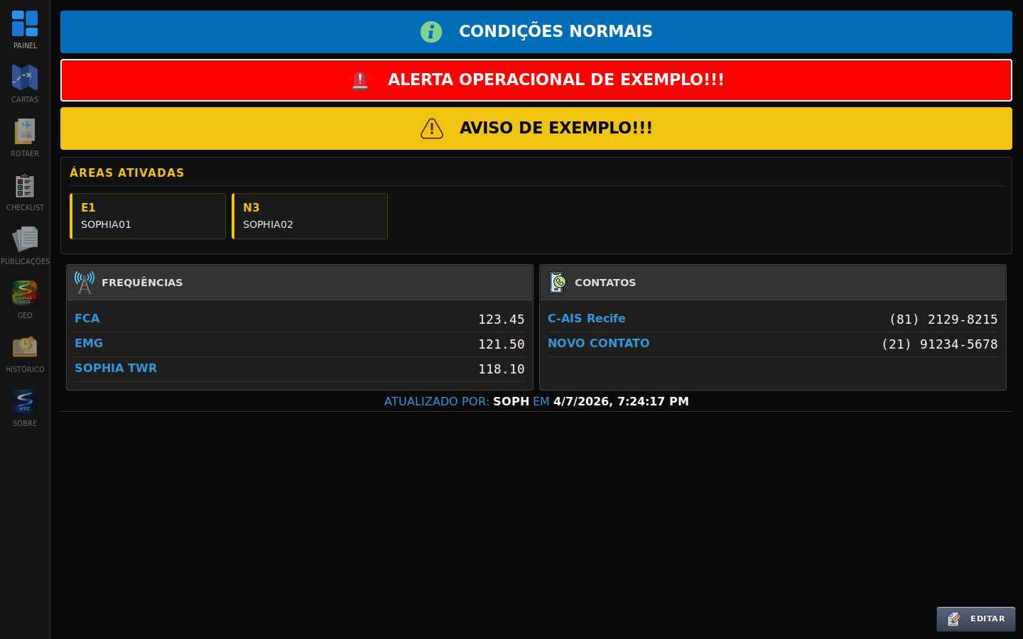
SOPHIA APP
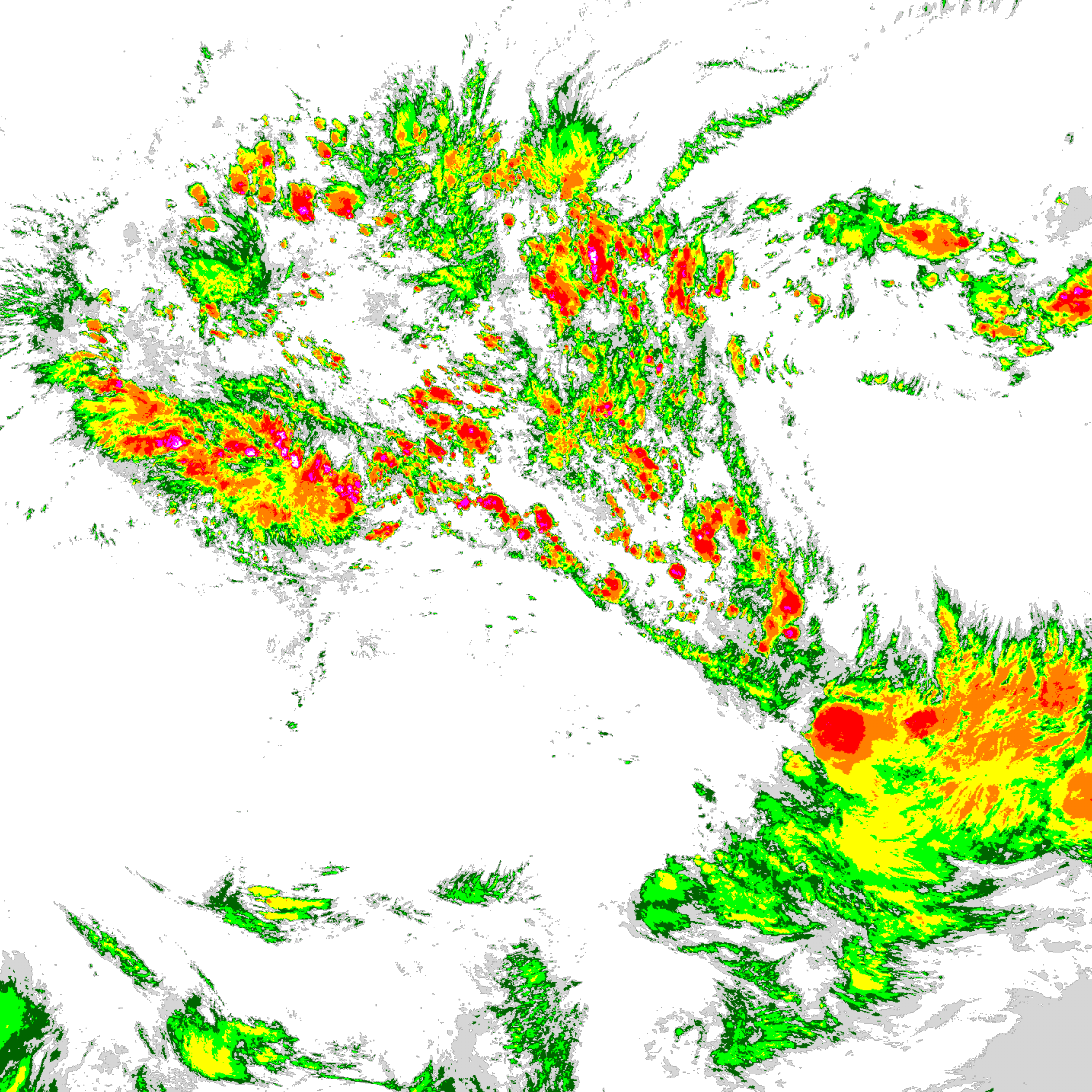
An advanced system for Approach Control (APP) that integrates high-resolution meteorology, operational data, and real-time alerts to expand situational awareness.